Friday, June 27, 2014

Knowles Peak

What better way to spend your 21st anniversary than starting a hike with your wife and child and then abandoning them halfway through the hike to do some off trail mountaineering with your niece?  That's what I did for my anniversary and it was a really neat day.

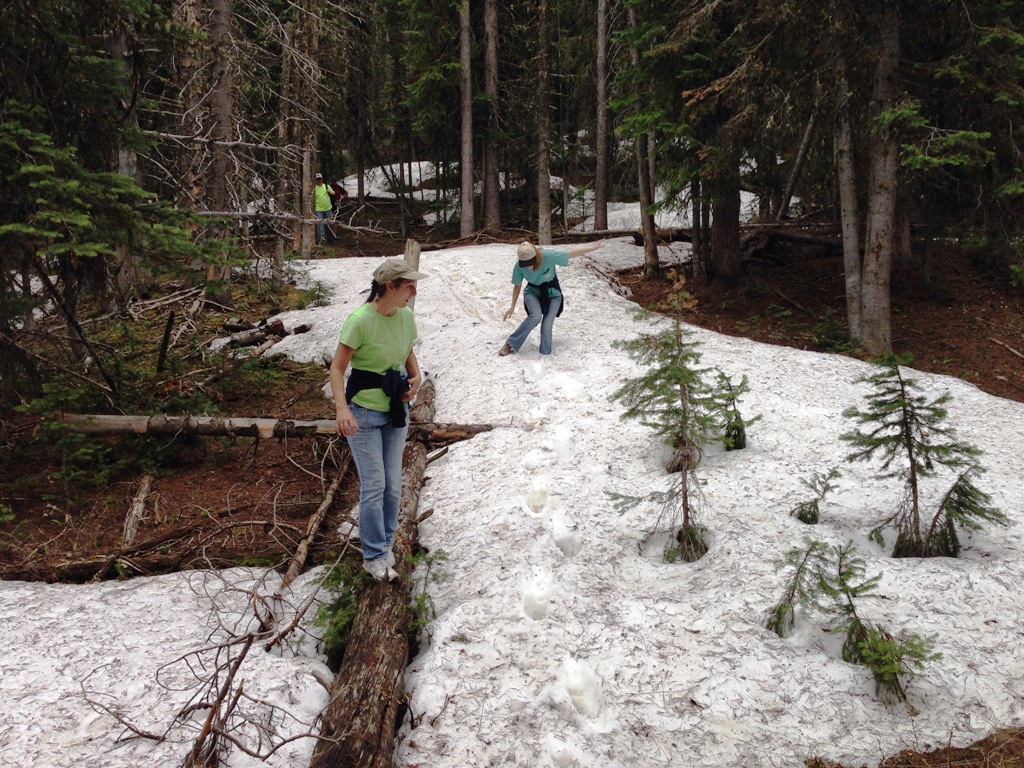
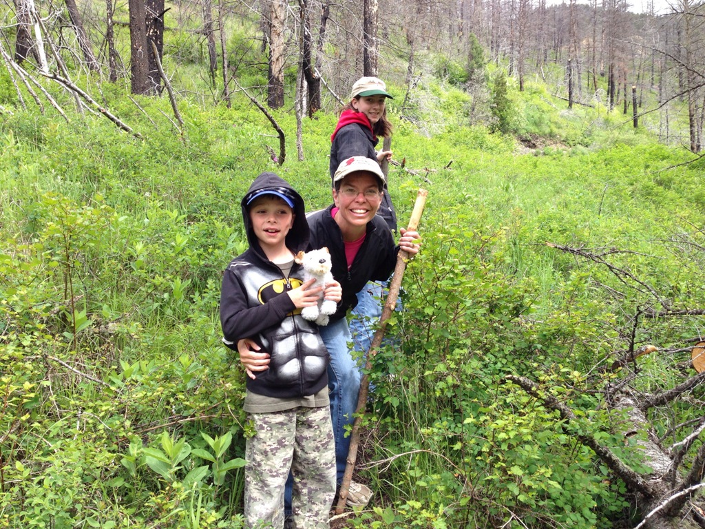
Here we are toward the start of the hike.  We went with my brother and his wife and their two daughters for the start of the hike.

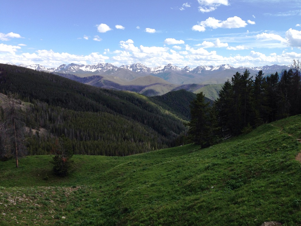
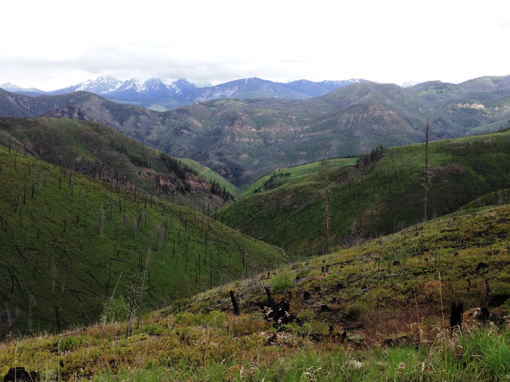
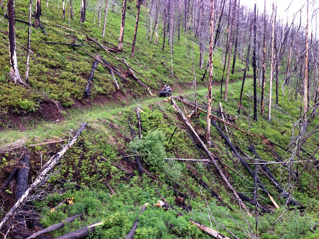
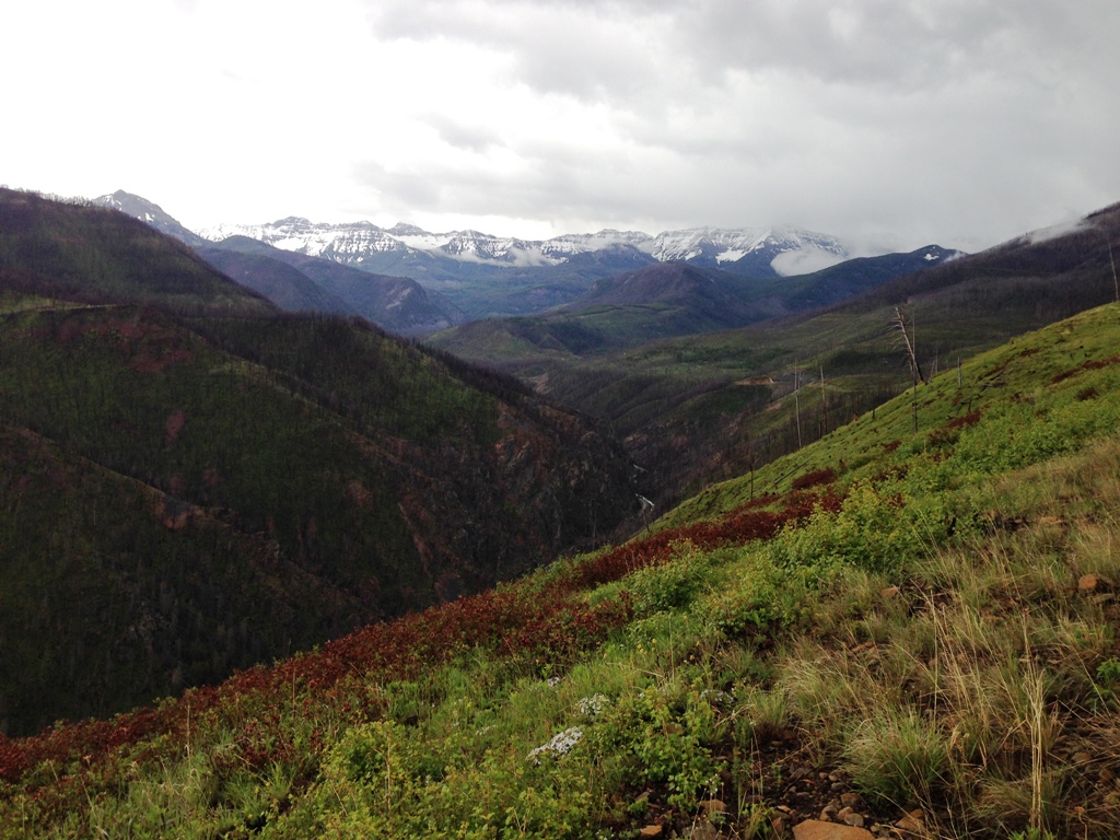
Looking back from where we started that morning.  This is looking toward where we were on the ATV trails earlier in the week.  If you click on it and look closely you can see some of the logging roads we were riding on.

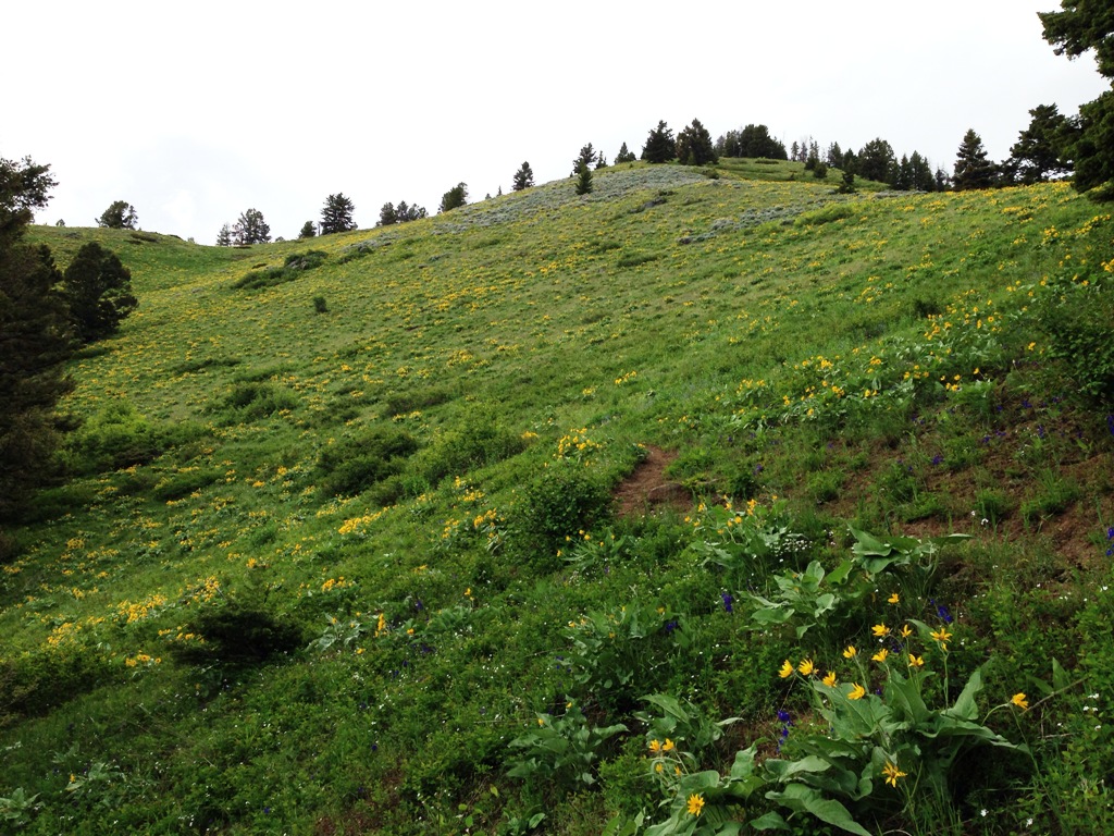
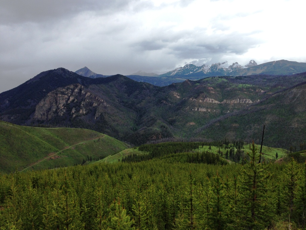
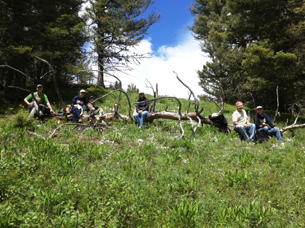
A little over a mile and a half and we were at the meadow having gained a little over 1,300' of elevation.  We had just kept a steady easy pace and everyone seemed to be really enjoying the hike.

We had discussed everything from everyone going on a 3 mile one way hike where we could meet up with another trail head to doing a round trip hike and another option was to leave the trail behind and head up to Knowles Peak since we were already on the backside of the mountain.  With 7 of us eating lunch in the meadow we ended up deciding to do all 3 options.  My brother and his wife decided to do the round trip hike, one of my nieces wanted to go up to Knowles Peak so I volunteered to take her up there, and my wife and son and the other niece decided to just hike down to the trail head and head back to camp.  Here we are eating lunch in a meadow before we split up.


Once we split up the climbing began.  The only drawback to this route to going up to Knowles Peak is that you have to do some ups and downs going across the ridge line.  I've hiked this route a few times in the past and their is a neat rock cairn that someone stacked up along the ridge line.  Here's a picture of my niece next to it.

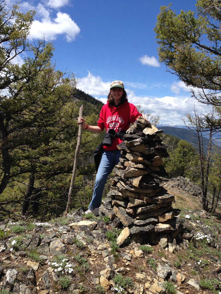
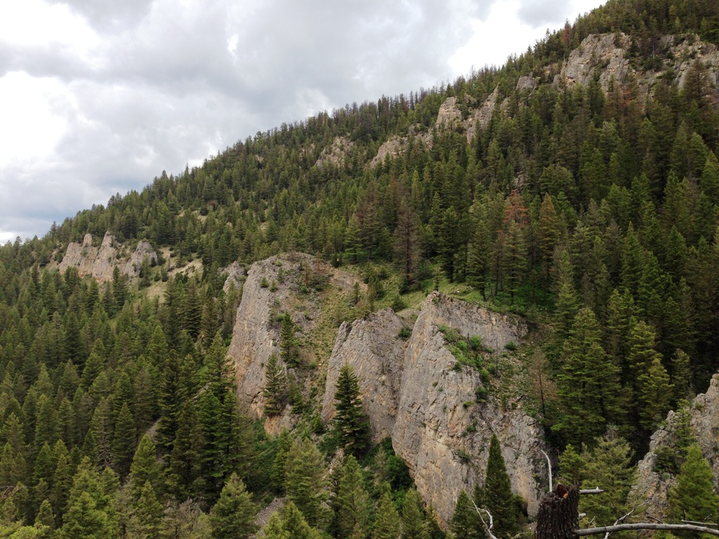
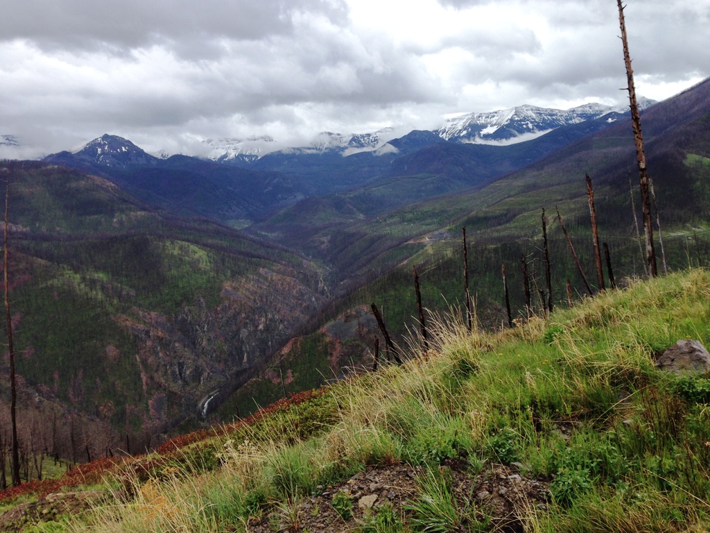
You can see the peak that we are headed to over her left shoulder.  Doesn't look like much of a climb, but there are a few steep spots between where the picture was taken and the peak.

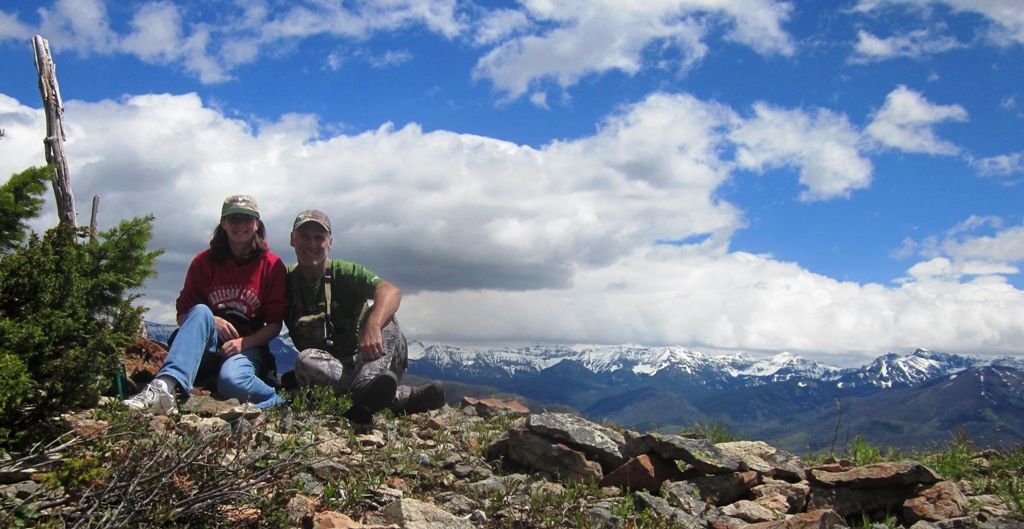
A little bit of effort and about 1,000' of elevation gain from where we ate lunch and we were on the top.  I propped up the camera on my backpack and got a picture of us using the timer.


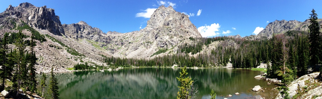
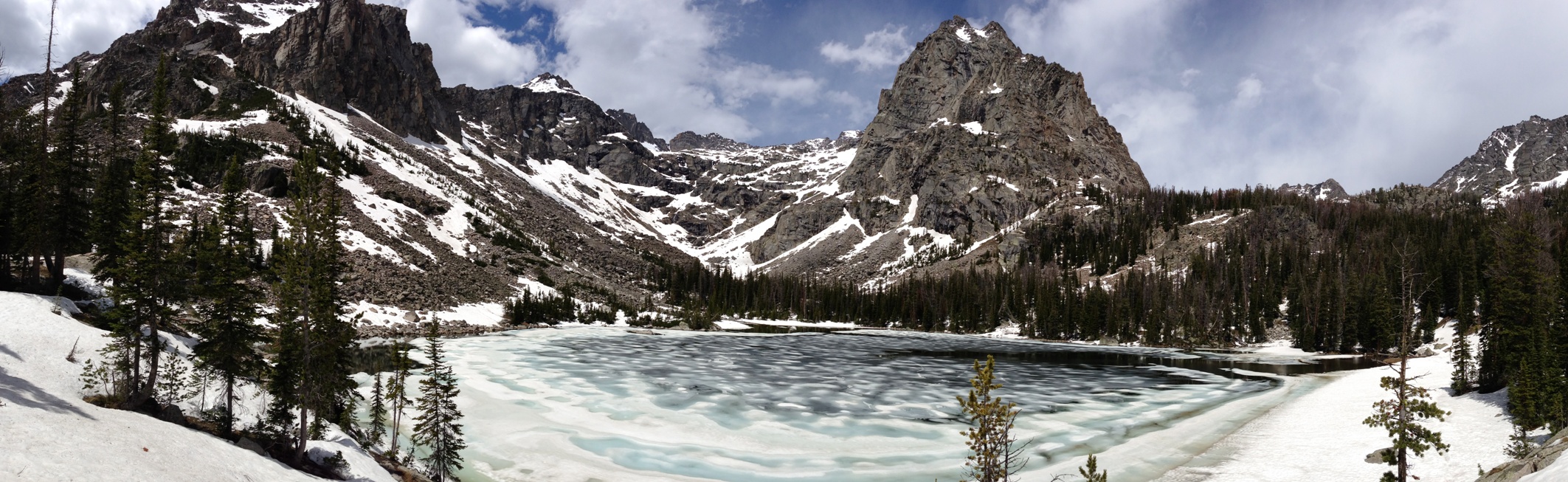
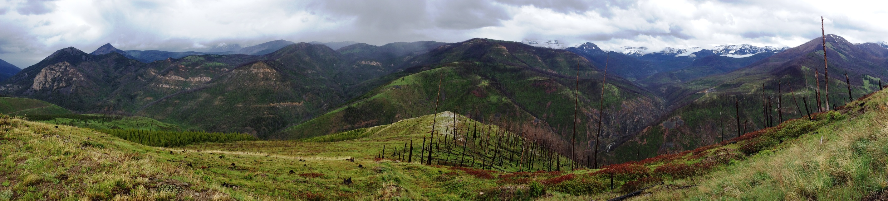
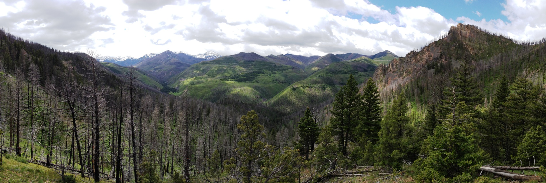
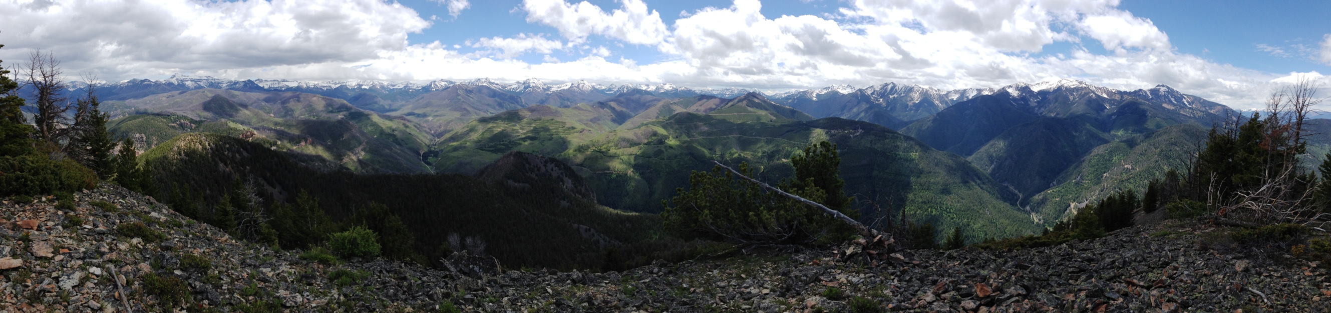
Here's a panoramic view from the top.


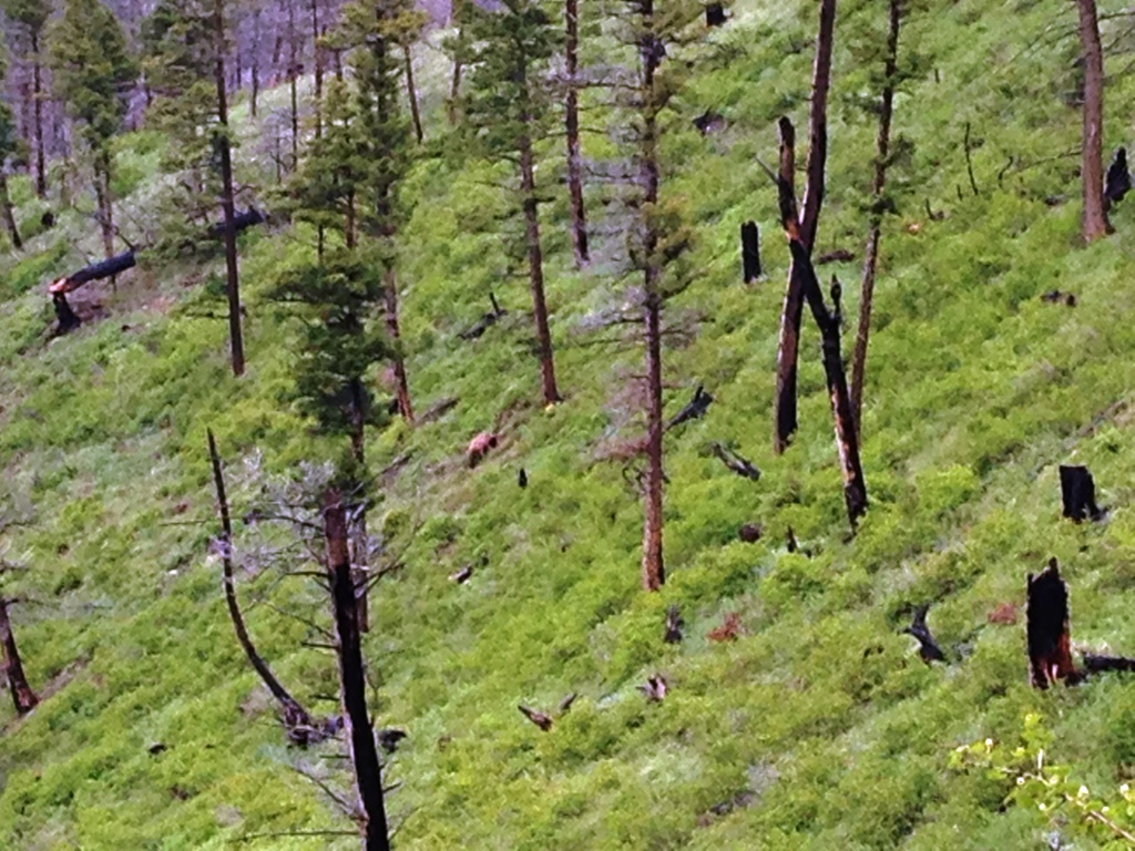
We had decided that we would just head down the front side of the mountain and head back toward camp instead of going back the way we had come so off the top we went.  The next mile was the slowest mile logged per my GPS with it taking us over an hour and fifteen minutes.  Of course we dropped 1,859' during that mile with all of it off trail so I guess that's our excuse.

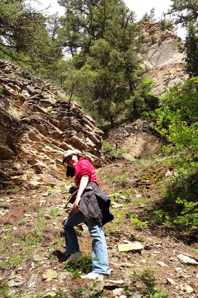
As we got toward the bottom I couldn't remember exactly when I had dropped off the ridge in the past, but remembered having cliff problems at least one of the times I came down.  I ended up sending us off the ridge a little early and we had to come down some pretty steep stuff with lots of loose rocks for about the last 1/2 mile or so.  Right at the bottom we had to do some pretty good maneuvering to avoid getting cliffed out.  I really didn't want to have to climb up the very steep loose rock and dirt we had been coming down, and I was able to find a way down.

Here is my niece coming down the last bit.  As always the camera seems to make it look not nearly as steep, but we had to do lots of side hilling back and forth and several times we were standing up with one hand hanging onto the side of the mountain.  The cliff at the top of the picture is where we started this little descent.

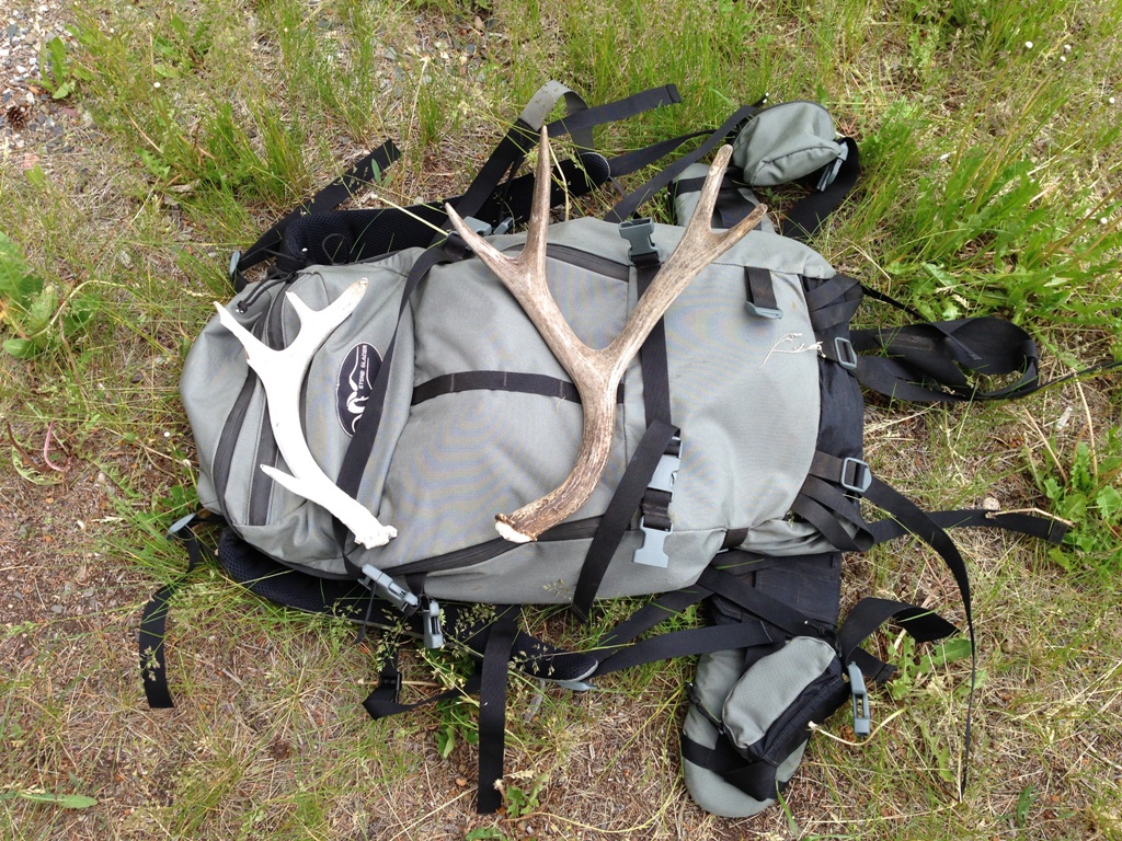
One unexpected part of the hike was that I found a couple shed antlers and one of them was a pretty nice one from this year.  I let my niece carry it on the way down and for some reason she thought that meant it was hers!  After much consideration on my part and promises from her that she would cherish it and not just throw it in her closet or something I let her keep it.  Here's my backpack back at camp with the sheds.


Overall it was a very nice hike and fun to get to share some of it with my niece.  She did a little complaining about my choice of routes down the mountain but overall was a trooper.

Thursday, June 26, 2014

Elbow Lake

After going to Yellowstone Bible Camp for close to 40 years now, last year was the first time I made the hike up to Elbow Lake that is just a 3 mile drive from camp to the trail head.  I've gone on several other hikes from the same trail head, and even seen the sign for Elbow Lake before, but no one I knew had ever gone there so I never bothered to even check it out.

Last year my friend Ben did some checking around for new areas to hike to and thought Elbow Lake would be a good alternative to some of our normal hikes when we are at camp.  The only drawback is that it a bit long for a day hike at 8 miles each way with some decent elevation gain going up to the lake.  We decided it would be worth it and went for it last August and were rewarded with a beautiful lake that we had pretty much to ourselves.  We only passed one other person on the trail going to and from the lake that day.  Here's a panoramic picture that I took that day last August.  You can click on the picture to enlarge it.
Fast forward to last week and I had mentioned to several of my family members what a pretty lake it was and that although it was a hard hike, it could be done in a day if you didn't mess around.  The thing I didn't really take into account was the fact that most of my family are not avid hikers and that the conditions would be very different in mid June than they were the first of August the year before.  The snowpack was much higher this year than last year and we were almost a month and a half earlier this year as well.  My family didn't have decent boots or backpacks, they were just planning on hiking in tennis shoes and book bag type day packs.  I was worried about it being a bit muddy with the rain that had been coming through the last few days and I was worried about a few stream crossings, but I told them to be sure and pack some dry socks and figured we would be fine.

The first 6 1/2 miles of the hike were pretty uneventful.  It is a pretty steady climb starting at mile 3 through 6, then you drop down a bit during mile 7 before climbing back again.  About a mile from the lake we started hitting the first patches of snow.

Nothing too bad.  For the most part you could skirt around the larger patches if you wanted to and I went through first and made some boot tracks for people to follow if they wanted to.

After another 1/2 mile or so it got pretty bad and the 3 of the 7 that started the hike decided that it wasn't going to be worth it to end up with your shoes and socks soaking wet 7 miles from the trail head so they decided to turn back.  The trail was now pretty much completely covered with snow at least 12" deep and MUCH deeper in spots.  Here's a view of the trail with about 3/4 of a mile to go before you get to the lake.  Really nice little bridge over a small creek.  Of course the snow was covering nearly all of the bridge.
At about 1/2 mile to go to the lake all except for 2 of us decided it wasn't going to be worth it to plow through the snow to get to the lake.  Amazingly the 2 of us that decided to continue on were the ones wearing hiking boots and not tennis shoes.  The snow stayed pretty steady and in many spots was firm enough that you could walk on top of the crust, but occasionally you would break through sometimes as deep as your crotch.  I was really wanting to make it to the lake to see how different it would look with all the snow.  The images I was seeing made me think it was going to be worth it.
It was!

Quite a bit different that what it looked like last August.  Even with all the snow we had to go through to get there I was surprised to see the ice still on the lake.

Token picture of me at the lake in the snow.

I changed my socks out on the way back down, but even with my waterproof hiking boots they were pretty wet on the inside.  You can make some pretty good time on the way back to the trail head though as it is nearly all downhill.

One neat part of the hike is a very large meadow that you hike through.  One of the largest mountain meadows that I know of anyway.
It was so green up there this year.  This meadow is very steep, the trail switchbacks 3 times going through it.


Some neat cliffs on the way back down.
A very neat hike and well worth the effort.  Per my GPS it showed almost exactly 16 miles roundtrip (15.98 miles) and 3,829' of elevation gain.  You only gain 2,900' or so of net elevation going from the trail head to the lake, but you end up giving up a couple hundred feet really early in the hike and then about 600' at about the 6 mile mark so the true gain ends up more than the net.

If the lake isn't frozen over you could probably catch some fish up there as we saw some nice trout in the water when we were there last August.

Just a couple more posts to go and I'll be caught up.

Wednesday, June 25, 2014

Snowbank Campground ATV Trail Ride

Earlier in the week I was able to spend an afternoon riding our 4 wheelers with my sister-in-law Kerry riding with me and my brother Darwin riding the other ATV with my niece Erin on the back of it.  We ran up a couple miles from camp and hit the Snowbank Campground ATV trail that is about a 20 mile loop through a big chunk of country that has been logged and then burned.  With all the snow and rain this year it was as green as I can remember.

Barely a mile into the ride we spotted a nice bear feeding in the grass.  I thought it was a brown colored black bear, but my brother Darwin thought it was a young grizzly bear.  We watched it for a few minutes and it took off when it saw us.  Picture quality isn't that great as it was taken zoomed in on my iPhone, but you can get the general idea.
It was a pretty dreary day with rain off and on for pretty much the entire ride.  The flowers were just starting to bloom and we saw deer, elk, rabbits, grouse and the one bear.  It is a very pretty ride.
Most of the trail is on old logging roads, but there is a mile or two back in the very back that is a new ATV trail that connects the 2 main logged areas.  It doesn't look like it in the picture and even while you are riding them it doesn't look that bad, but there is a little over a 1/2 mile of trail where it constantly feels like you are about to tip over on your side.    Here's a picture of my brother in one of these spots.  If you look close you can see he is actually holding the right handlebar with both hands steering it into the side of the mountain.
In several areas on this trail if you did roll it off the trail it would keep going for a LONG, LONG way.

You can't see the panoramic pictures very well in the blogging software, but when you click on the picture the full size image should pop up.
It really is beautiful country.  It's unusual for that area because with the logging the subsequent fires it is very open and you can actually see the countryside very well.  In a lot of the other areas around, it is so timbered up that you can't see anything but the trees all around you.

Some more beautiful country.  At the very bottom left you can see the creek that we started out on when we began the ride.

Looking from another vantage point later in the ride.


This next picture has several features that are familiar to several of you that may actually read this blog.  In the green area you can see the ATV trail as it heads back down near toward the bottom.  On the far left of the picture in the middle you can see Knowles Peak or 4th Peak as we tend to call it from the Bible Camp that is below it.  I'll be posting a blog post on climbing up there in the next couple days.  In the far background the mountains with the snow on them are actually the backdrop for Elbow Lake.  I'll be posting a blog post on our hike there as well.


Overall it is a great loop to ride and other than about 1/2 mile at the very back it is pretty easy riding.  Lots of wildlife if you stay on the lookout.  I've still got 2 or 3 more posts to make, I might as well stretch them out a bit instead of trying to post them all on the same day.

Missing the cool clean mountain air!

Tuesday, June 24, 2014

ATV Rescue - 2014 Edition

Well, I really enjoy bringing our ATVs up to camp in Montana and I really enjoy letting other people use them while we are there, but I guess I'm going to have to start requiring a proficiency test before I allow people to ride them!

Thankfully this time both the ATV and the operator only sustained minor injuries compared to the last time I had to rescue one of my ATVs off the mountain.  

One of my sisters was riding it and somehow got the front tire off the side of the trail and it was all over pretty quickly.  She was going very slow when it happened, but either leaned the wrong way or got it too far off the side or something, but it went over with her and a passenger going over with it.  They both fell off the side and the ATV rolled right over top of them.  Thankfully the small sapling trees helped hold most of the weight of the ATV off them and it rolled over once and landed on it's wheels still running.  Also, this is one of the few areas on the trail where there is only a 10 or 15 foot drop off the trail to a relatively flat area so that was a big help as well.  Some areas the ATV would have rolled end over end down the side of the mountain for several hundred feet.  

Here's a picture of where the ATV ended up.  The guy in the picture is my nephew who was helping me get it out.

Pictures never do justice on telling how steep things are.  Here's another angle of it.


We tried our best to get it out with the tools we had, but that last bit of slope was nearly straight up and the rachet straps that I had just weren't going to get it out.  Here is Duncan sitting on the front end of the ATV trying to get it to power up the slope.  We had it in 4X4 with the differential lock, but all it was doing was digging some big holes with the front tires. 
At one point I was pushing and he was sitting on it normally, but it felt like it was going to tip over backwards.  I also tried to pull it out with the other ATV, but that ended up getting it too far sideways and it was going to roll over sideways.  We ended up having to go back to camp and borrow a come along.

Even with the come along things were pretty iffy.  The front end of the ATV was pushing into the top of the hill and the back wheels were actually off the ground.  Things were creaking and straps were straining and we ended up breaking one of the smaller straps trying to pull with the other ATV at the same time we were winching with the come along.  

My brother Frank was helping by this time.

Finally we just went for broke and had Frank ride the ATV and got all it's wheels spinning at the same time Duncan was tightening the come along.  I had another rope tied up to a tree with the thought that if another strap broke at least the ATV wouldn't go all the way to the bottom again.

Thankfully with the ATV helping we got it back up on level ground!


You can see a little better how steep the slope it came up was by looking at the small tree that we were using to help keep the strap from digging in.  We ended up trying to use it as a pry bar to keep the front end of the ATV from digging in and it is laying to the left of the ATV in this picture and does a decent job of actually showing the angle of the slope.

Thankfully the ATV seemed relatively unharmed except for some areas that the plastic has pulled away from the main body.  Hopefully with just a little tweaking we can get it back in the proper place.  It seems to run and handle fine though.

I'll be updating the blog with some of the other things we did on vacation over the next few days.

That's it for now.  Nathan